






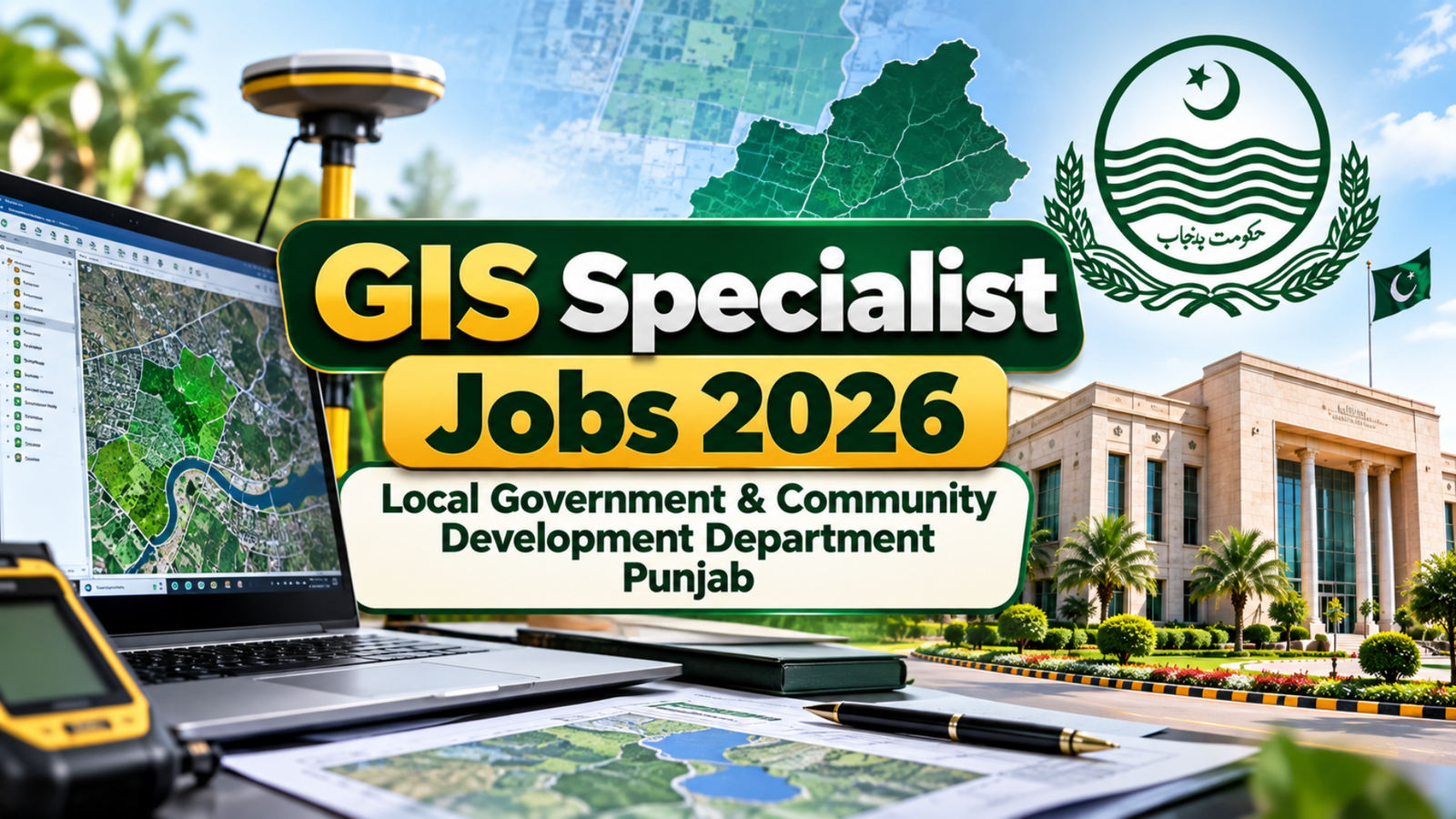
GIS Specialist. The Local Government & Community Development Department (LGCD), Government of Punjab, has announced an employment opportunity for a GIS Specialist under the Punjab Rural Sustainable Water Supply and Sanitation Project (PRSWSSP). The position is based in Lahore and is being offered on a contract basis. Candidates with relevant qualifications and substantial professional experience in Geographic Information Systems (GIS), mapping, database management, and Management Information Systems (MIS) are encouraged to apply.
This is a specialized professional position for an experienced GIS candidate who can support the development and management of digital mapping systems and GIS-based databases related to water supply, sanitation, solid waste management, and other municipal services.
GIS Specialist Job Details
The position is available under the LGCD Government of Punjab and is associated with the Punjab Rural Sustainable Water Supply and Sanitation Project. There is one vacancy available for this role.
- Job Title: GIS Specialist
- Department: Local Government & Community Development Department, Government of Punjab
- Project: Punjab Rural Sustainable Water Supply and Sanitation Project
- Location: Lahore, Punjab
- Division: Lahore
- District: Lahore
- Industry: LGCD Government of Punjab
- Employment Type: Contract
- Pay Scale: PPS-09
- Monthly Salary: Rs. 400,000 – Rs. 410,000
- Total Positions: 1
- Job Posted: 7 October 2026
- Last Date to Apply: 27 October 2026
- Gender: Male and Female
- Age Limit: 18 to 60 years
- Required Education: Master’s degree in GIS/Space Sciences
- Required Experience: 8 years
- Domicile: Required
The salary package makes this a potentially attractive opportunity for experienced GIS professionals looking for a project-based position within the Punjab government sector.
Qualification Required for GIS Specialist
Applicants interested in the GIS Specialist position should have a Master’s degree in Geographic Information Systems (GIS) or Space Sciences. The advertisement also indicates eligibility for candidates with 16 years of education in the relevant degree area.
Since the position involves advanced GIS database development, mapping, municipal asset management, and technical support, applicants should have strong practical knowledge of GIS technologies in addition to their academic qualifications.
Candidates are expected to have approximately 8 years of relevant professional experience in areas such as GIS mapping, Management Information Systems (MIS), database administration, or closely related fields.
In addition to overall professional experience, candidates should have at least 4 years of experience working on similar projects or assignments. Experience related to water supply, sanitation, municipal infrastructure, local government services, or development projects may be particularly relevant to the responsibilities of this position.
GIS Specialist Job Responsibilities
The selected GIS Specialist will play an important technical role in developing GIS and MIS systems for the Punjab Rural Sustainable Water Supply and Sanitation Project.
One of the key responsibilities will be to review the existing GIS resources available for the project. The specialist will identify gaps in existing hardware, software, databases, and other technical resources and provide recommendations for additional equipment or software required to maintain an effective GIS database.
The GIS Specialist will also provide technical assistance in developing a comprehensive GIS database for existing water supply, sanitation, and solid waste management systems. This database will cover relevant municipal services and assets located within the target tehsils of the PRSWSSP.
Another major responsibility will be supporting the identification and procurement of suitable GIS hardware and software needed to operate and maintain the project’s GIS-based Management Information System.
The successful candidate will also be responsible for developing a GIS mapping system based on asset data collected through field surveys in the project’s target tehsils. Accurate mapping will help project teams understand the location, condition, and distribution of municipal infrastructure and services.
GIS-Based MIS and Dashboard Development
A major part of the role will involve developing a GIS-based MIS for municipal service facilities and assets. The system is expected to be designed in a way that it can eventually be implemented across the relevant tehsils covered by the PRSWSSP.
The GIS Specialist will need to ensure that information collected through surveys and other project activities can be properly organized, managed, updated, and analyzed.
The position will also involve developing GIS dashboards. These dashboards should enable project officials and other stakeholders to quickly analyze available information, identify trends, compare performance, and monitor defined standards and indicators.
Therefore, candidates applying for this position should ideally have strong analytical skills and practical experience working with GIS databases, spatial data, mapping systems, MIS platforms, and data visualization tools.
Who Can Apply?
Both male and female candidates can apply for the GIS Specialist position, provided they meet the required educational and professional experience criteria.
Applicants should carefully review the qualification and experience requirements before submitting their applications. As this is a senior-level technical position, candidates with extensive hands-on experience in GIS mapping, database administration, municipal infrastructure mapping, and GIS-based MIS development are likely to be better suited to the role.
The advertised age range is 18 to 60 years, subject to the applicable recruitment rules and project requirements.
Domicile Requirement
A domicile is required for this position. Candidates should make sure that they have the necessary domicile documentation before completing the application process.
The job information also highlights the Government of Punjab’s Dastak Doorstep Delivery initiative, through which eligible citizens can access certain government services at their doorstep. Applicants who need assistance with obtaining a domicile may contact the relevant government service or use the Dastak Doorstep Delivery App.
How to Prepare for the GIS Specialist Position
Candidates should ensure that their educational documents, experience certificates, domicile, identification documents, and other required information are ready before applying. It is also important to carefully check the official job advertisement and follow all application instructions.
Applicants should highlight relevant experience involving GIS mapping, spatial databases, MIS development, database administration, municipal assets, water and sanitation systems, field surveys, dashboards, and data analysis where applicable.
Conclusion
The GIS Specialist position with the Local Government & Community Development Department, Government of Punjab, offers an opportunity for an experienced GIS professional to work on the Punjab Rural Sustainable Water Supply and Sanitation Project. With a monthly salary of approximately Rs. 400,000 to Rs. 410,000 and a PPS-09 project position, it is an important opportunity for qualified professionals with strong GIS and database management experience.
There is one position available in Lahore, and the required experience is substantial, with applicants expected to have around 8 years of relevant experience, including experience on similar projects or assignments.